-
E-mail
727387715@qq.com
-
Phone
13686843730
-
Address
No. 8 Yangxia Avenue, Xinqiao Third Industrial Zone, Bao'an District, Shenzhen
Product Categories
Shenzhen Juyibo Intelligent Technology Co., Ltd



Domestic transportation meteorological station supplier
NegotiableUpdate on 01/17
- Model
- Nature of the Manufacturer
- Producers
- Product Category
- Place of Origin
Overview
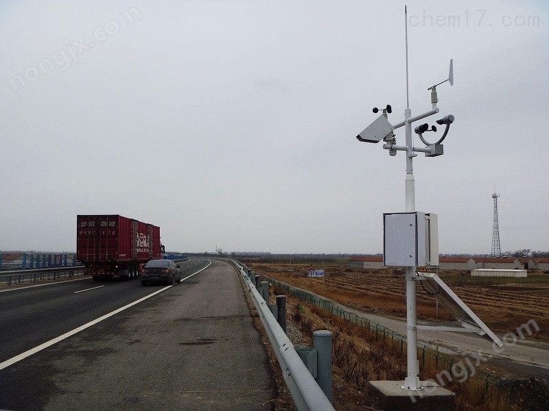
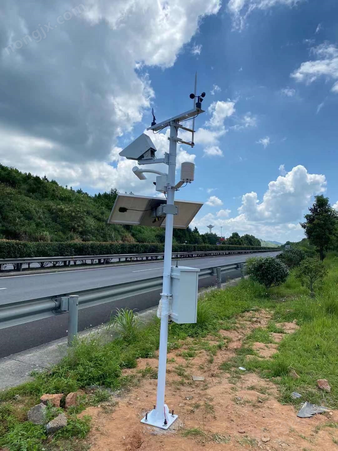
The transportation comprehensive meteorological monitoring station - adverse weather phenomenon observation instrument consists of a front-end data acquisition unit, monitoring host, back-end software, monitoring center (upper computer server), etc. The front-end acquisition unit includes various parameters such as temperature, humidity, visibility, etc. on the highway. The data from each transmitter is collected to the monitoring center host through wired means. The host will eventually upload the received information to the monitoring center through wireless or wired networks (Ethernet/RS485/RS232), and the monitoring software running in the monitoring center will store, analyze, display, and process the data.
Product Details
System Composition
The highway environmental meteorological monitoring system consists of a front-end data acquisition unit, a monitoring host, back-end software, and a monitoring center (upper computer server). The front-end acquisition unit includes various parameters such as temperature, humidity, visibility, etc. on the highway. The data from each transmitter is collected through wired means to the monitoring center host, and the host will eventually receive the information through wireless or wired networks (Ethernet)/RS485/RS232) is uploaded to the monitoring center for data storage, analysis, display, and processing by the monitoring software running in the monitoring center. If the reported data exceeds the limit value, the monitoring software will issue multiple alarm prompts through various means.
All factor transportation meteorological station - adverse weather visibility observation instrumentProduct functional features
L can remotely detect road surface water, snow, ice thickness, and slippery conditions
2. Remote sensing detection of road conditions from a distance
3. Non embedded installation is fast and easy to install
4. Low maintenance costs
5. Integrate into the existing highway automatic weather monitoring network
6 Non embedded design
7 Anti corrosion
Infrared detection at a distance of 15 meters
9. No need to close lanes, simple installation and maintenance
10 sturdy design, all-weather measurement
L1 provides real-time meteorological and road condition data to the traffic management department to ensure driving safety; At the same time, it also provides timely and objective observation data for traffic meteorological forecasting; Thereby improving the accuracy of forecasting.


All factor transportation meteorological station - adverse weather visibility observation instrumentTechnical Specifications:
Air temperature range: -30~70 ℃ Accuracy: ± 0.2 ℃ Resolution: 0.01 ℃
Air humidity range: 0~100 Accuracy: ± 3% Resolution: 0.1%
Range of illumination intensity: 0-200Klux Accuracy: ± 5% Resolution: 0.1Klux
Wind speed measurement range: 0-30m/s accuracy: ± 0.5% resolution: 0.1m/s
Wind direction measurement range: 16 azimuth (360 °) accuracy: 0.5% resolution: 0.1%:
Rainfall measurement range: 0.01mm~4mm/min Accuracy: ≤± 3% Resolution: 0.01mm
Road conditions: dry, damp, wet, damp and chemical reagents, wet and chemical reagents, frost, snow, ice
Visibility:10 ±10%,(10-10000m) 15%,10Km-20Km
Features:
lThe multifunctional automatic weather station software is easy to operate, reliable in performance, tracks and records the entire process, has low power consumption, long recording time, and has automatic storage and protection function for power-off data.
lThe machine can work independently without a computer, and the upper computer software has powerful functions and convenient data viewing. The recorded data can be exported to the computer at any time and stored as Excel table files to generate data curves for further data processing by other analysis software.
l5、 Scope of application:
lWidely used in data collection and scientific research in various fields such as meteorological station construction, agricultural and forestry climate monitoring, ecological environment monitoring, highway and railway operation, and geological hazard monitoring, suitable for field use.


Similar Product Recommend


